What Do You Get with HuntStand Pro?
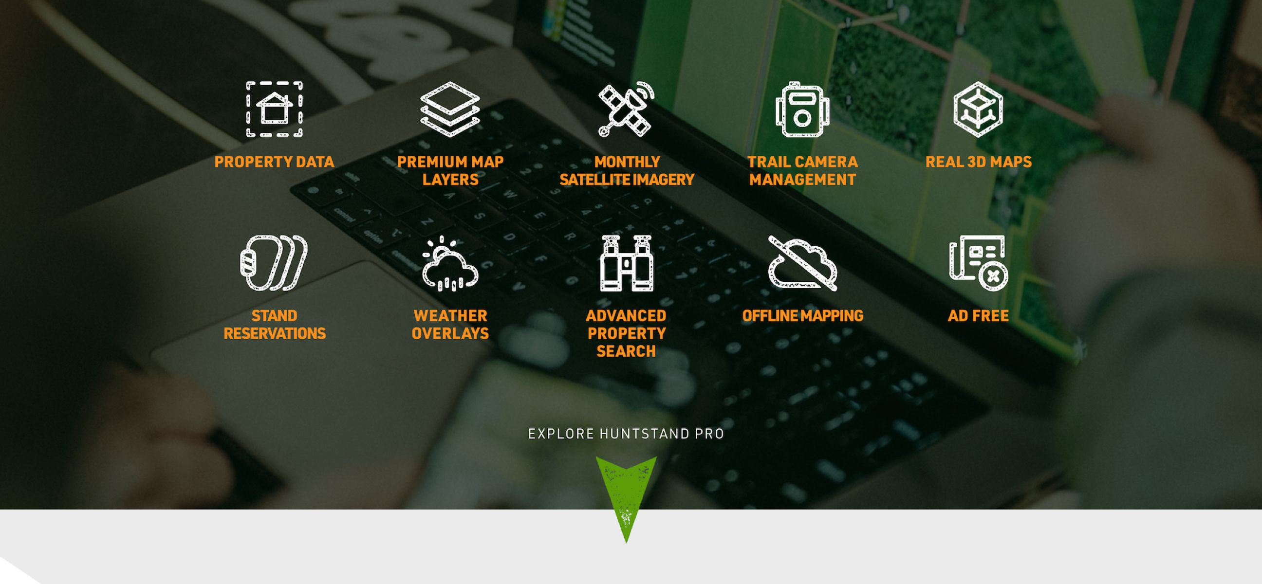
Is this the best yet most underpriced asset available to hunters?[...]

HuntStand’s powerful mapping features and revolutionary hunting tools will give you the confidence and knowledge for a safe and successful hunt.


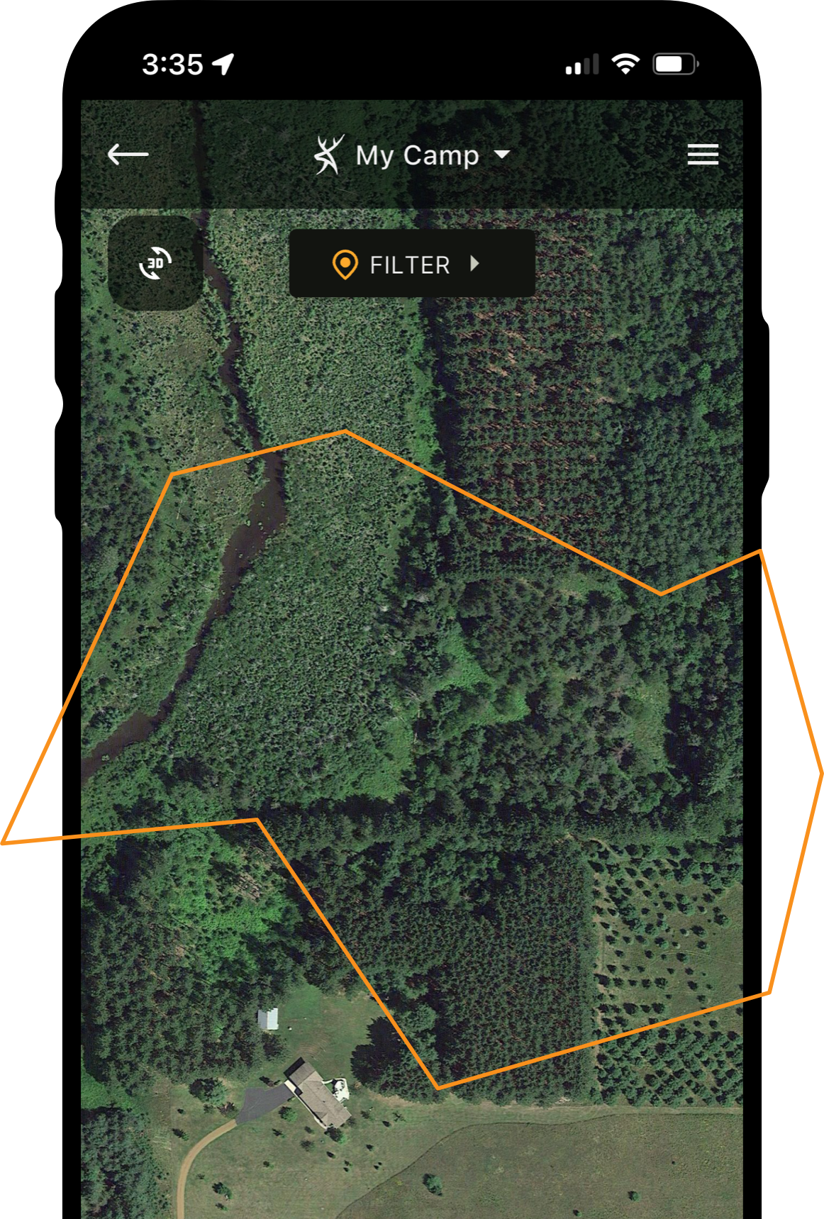

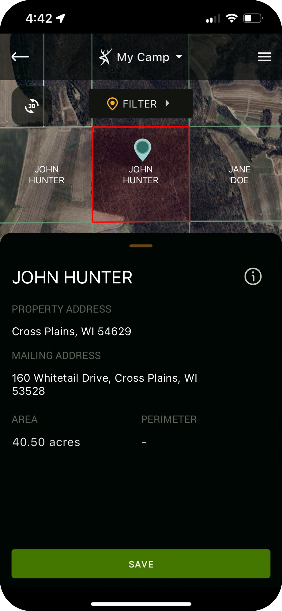
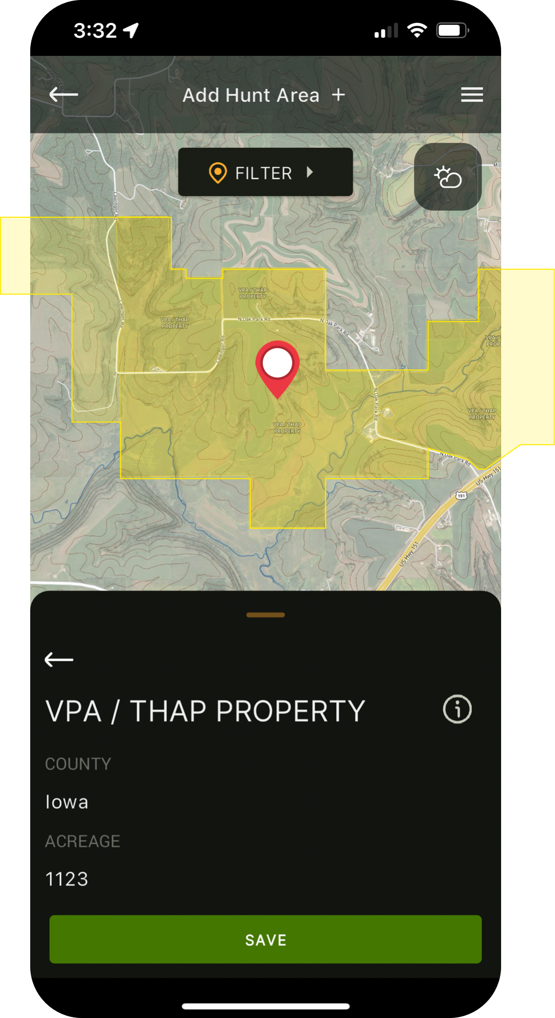
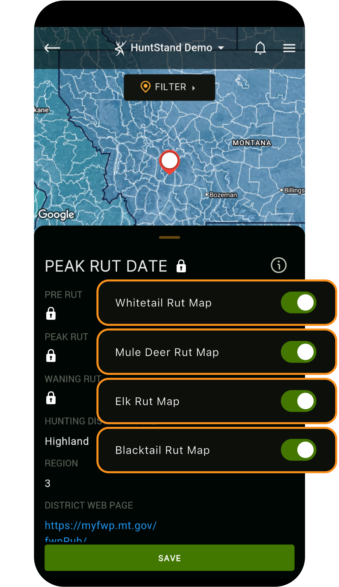
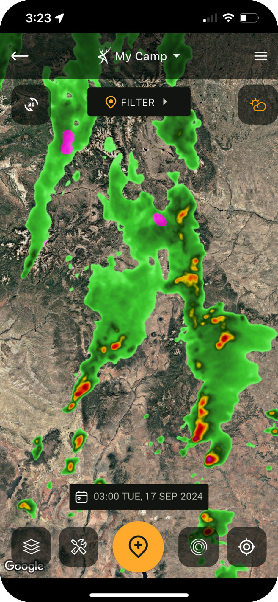
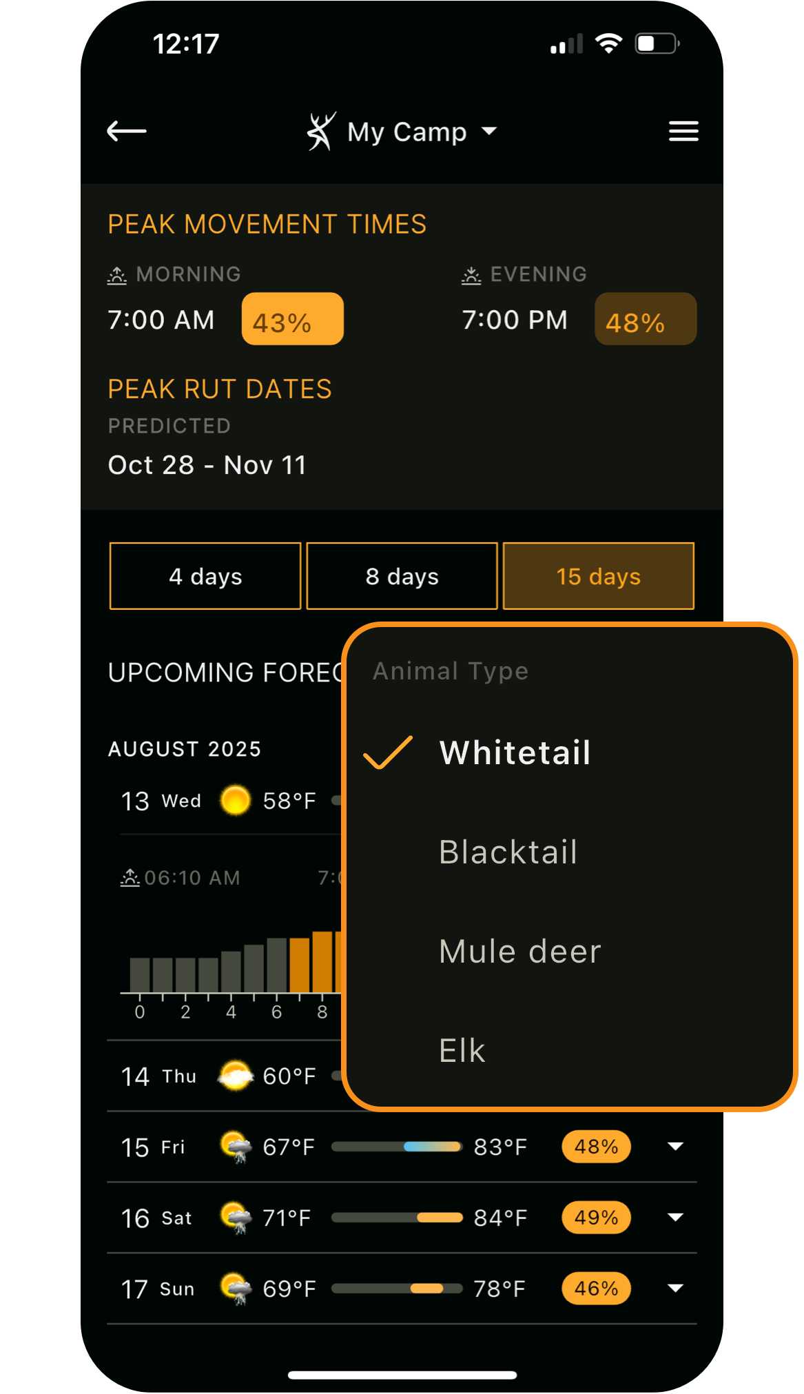
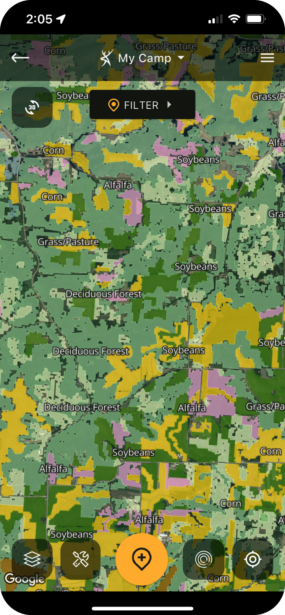
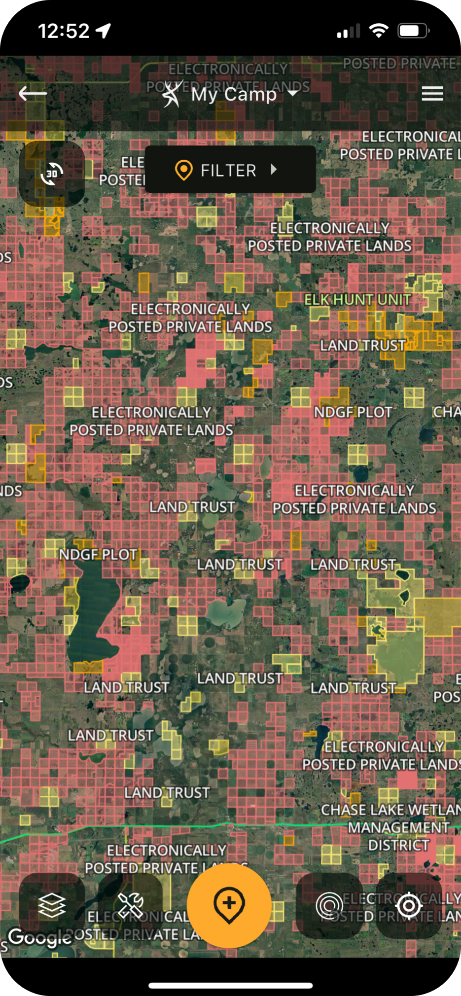
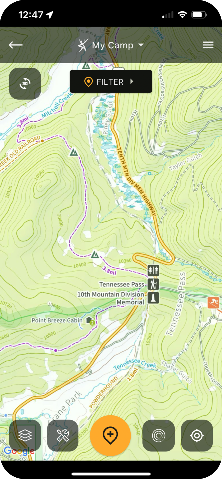
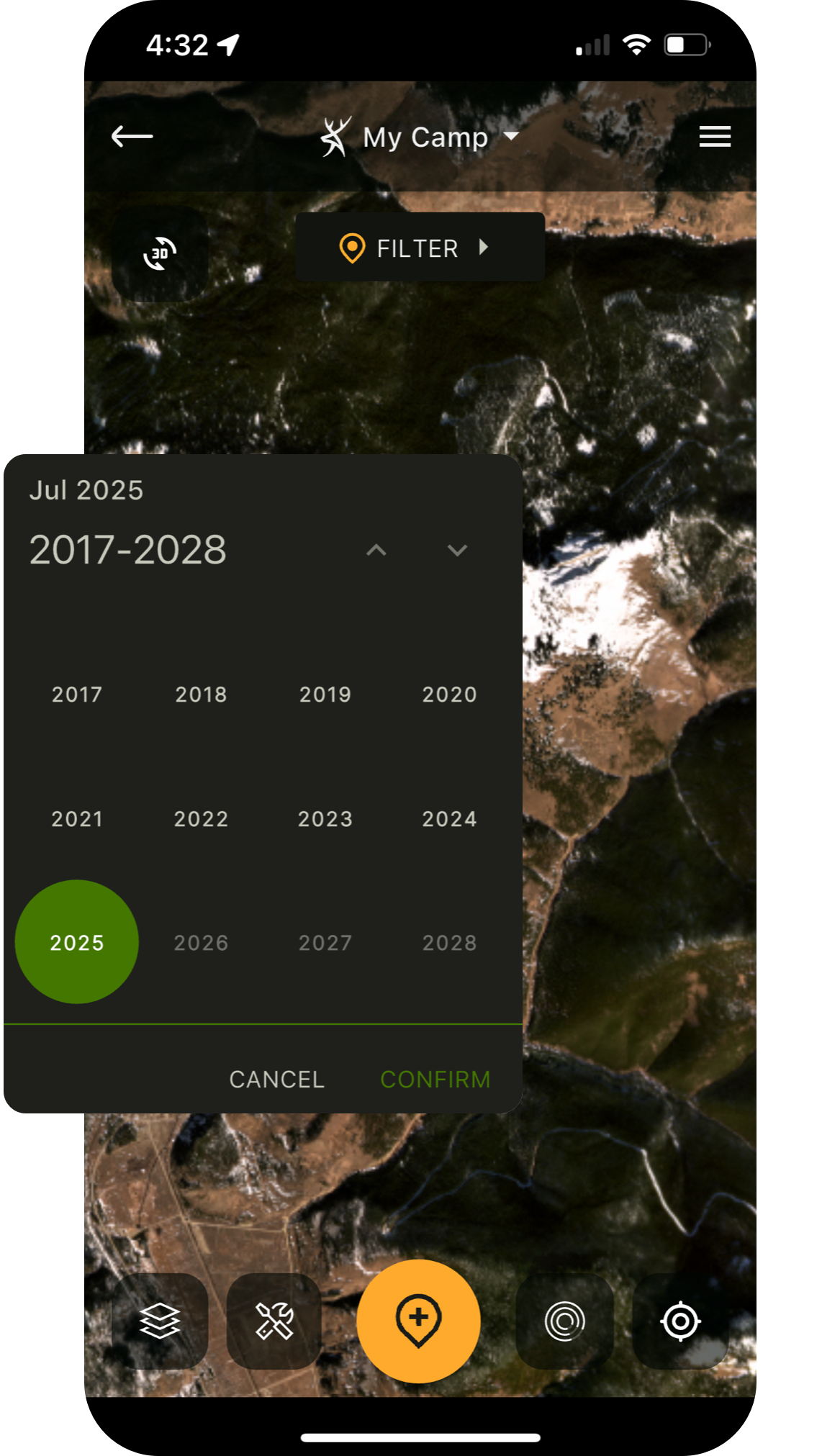
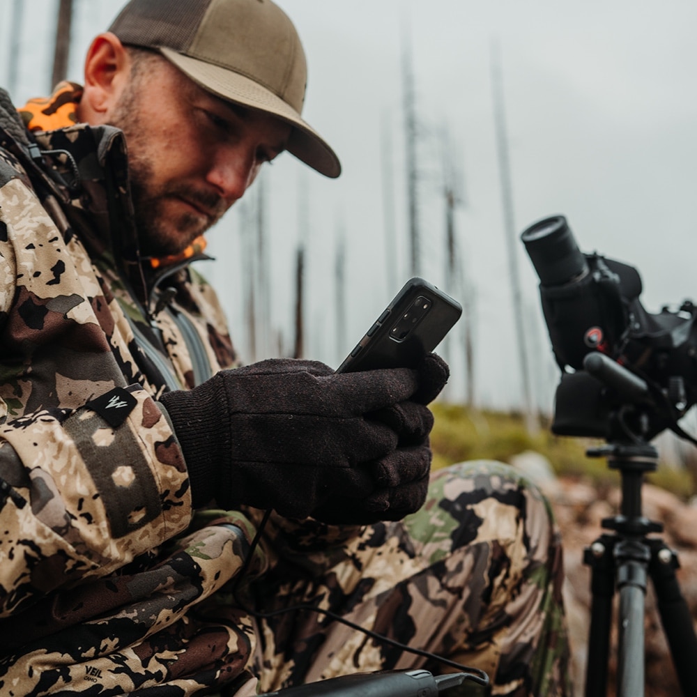
HuntStand has spent the last 10 years developing an indispensable toolset for hunting, habitat management and land ownership. We’ve combined advanced mapping, premium satellite layers and dozens of useful features to create something that has revolutionized the way millions of Americans hunt.


 2 MILLION
active HUNTERS
2 MILLION
active HUNTERS
 4.8 Million
Hunt Areas
4.8 Million
Hunt Areas
 210 Million
Acres Managed
210 Million
Acres Managed
 6.2 million
harvests recorded
6.2 million
harvests recorded
Upgrade to a Pro subscription to get the most affordable nationwide public & private lands data, up-to-date satellite imagery, and industry-leading features:



An unconventional hunt, tagged out on fun.
Watch the Video

Is this the best yet most underpriced asset available to hunters?[...]
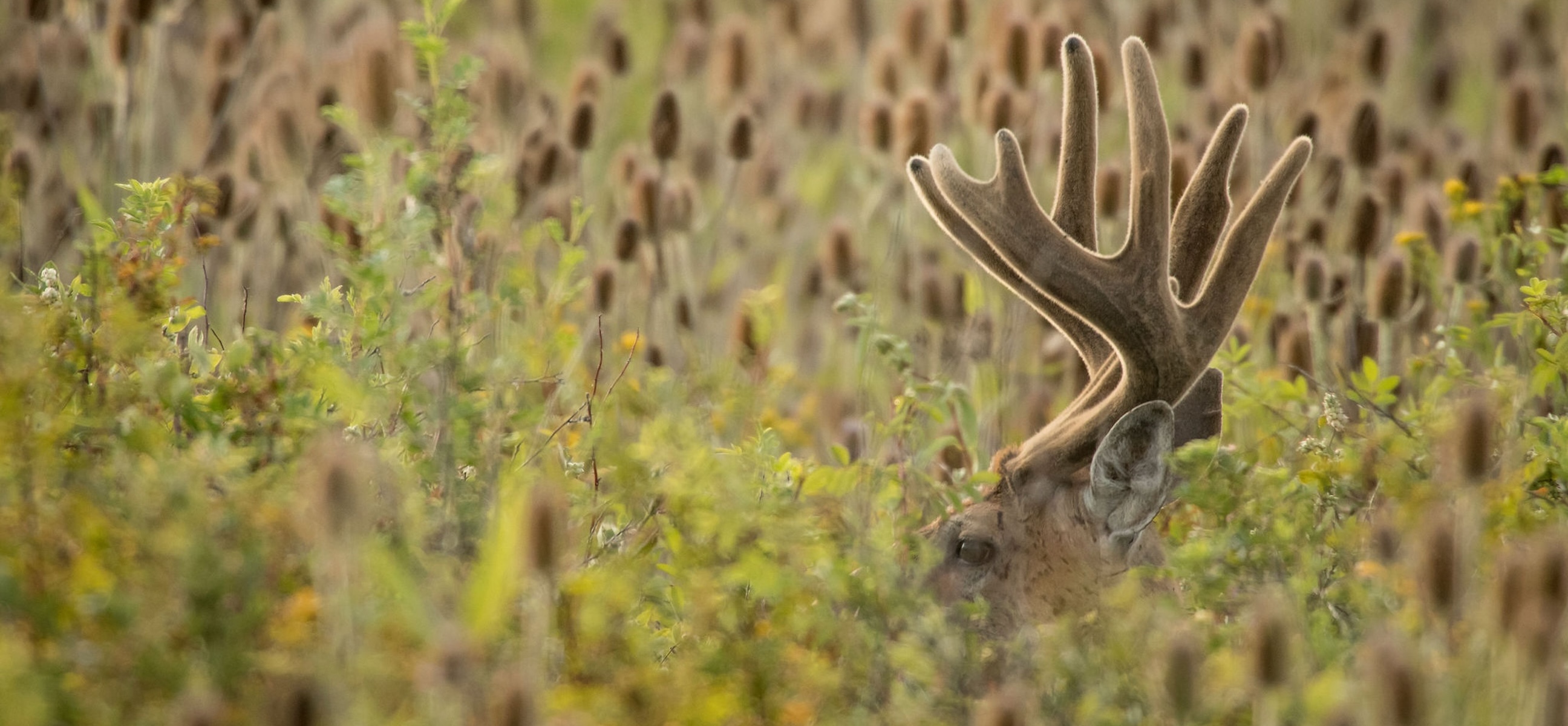
Some of the best-kept “off-season” deer hunting opportunities you’ve never heard about.[...]
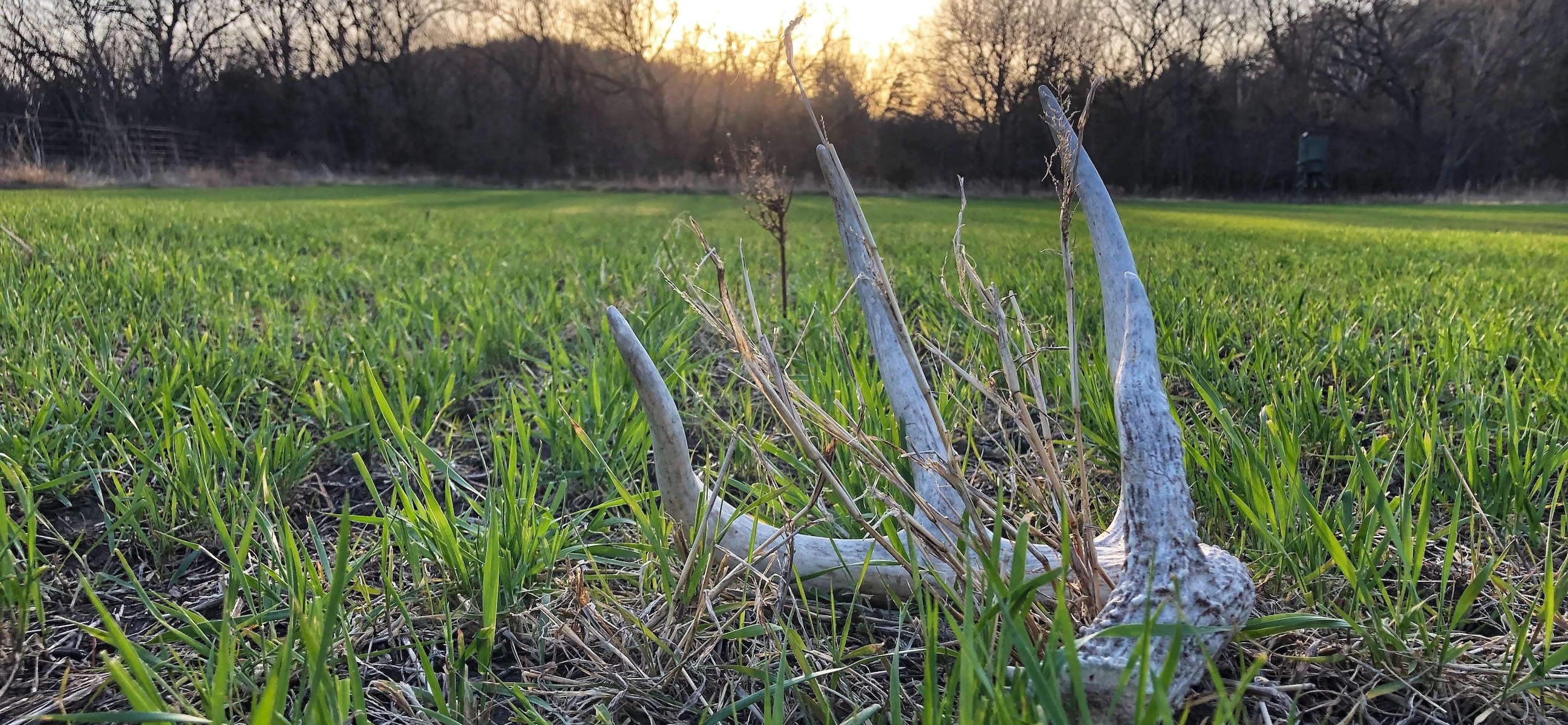
Lessons learned from elk, whitetail, and mule deer shed hunting.[...]

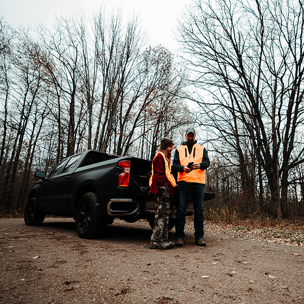
We believe in the continued growth and preservation of hunting and the shooting sports. HuntStand is proud to partner with brands that align with this vision and support charitable organizations that are working tirelessly to protect the future of the sport that we love.
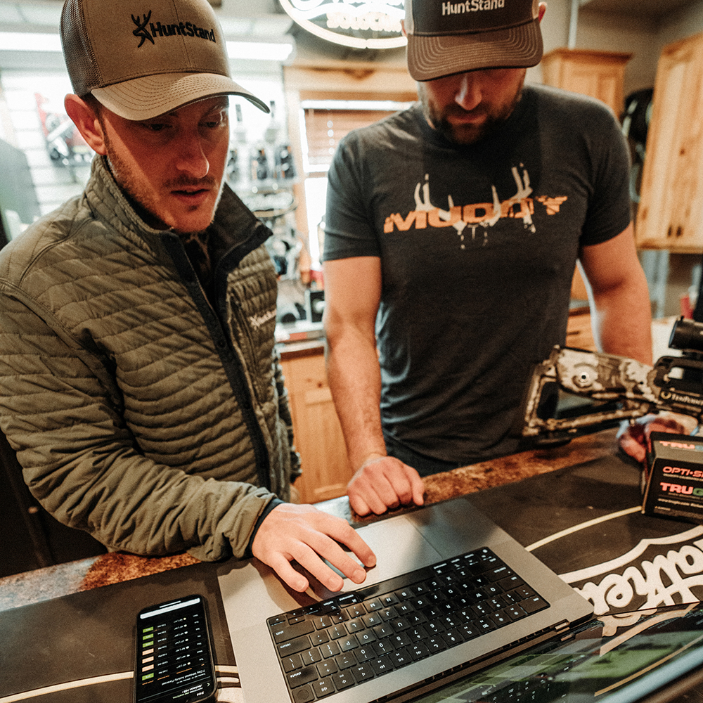
We often find ourselves at the convergence of technology and hunting, a past time steeped in tradition. This is not by accident. As an organization, we embody these two paradigms. Learn more about who we are and why we do what we do.
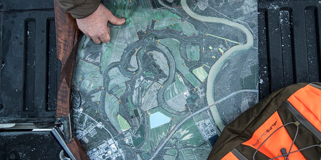

Use HuntStand to create a detailed map of your hunt area, then purchase a printed version in various sizes and materials. Perfect for early morning conversations around the camp table.
Printed Maps