
Unlock advanced tools with HuntStand's most powerful tier.
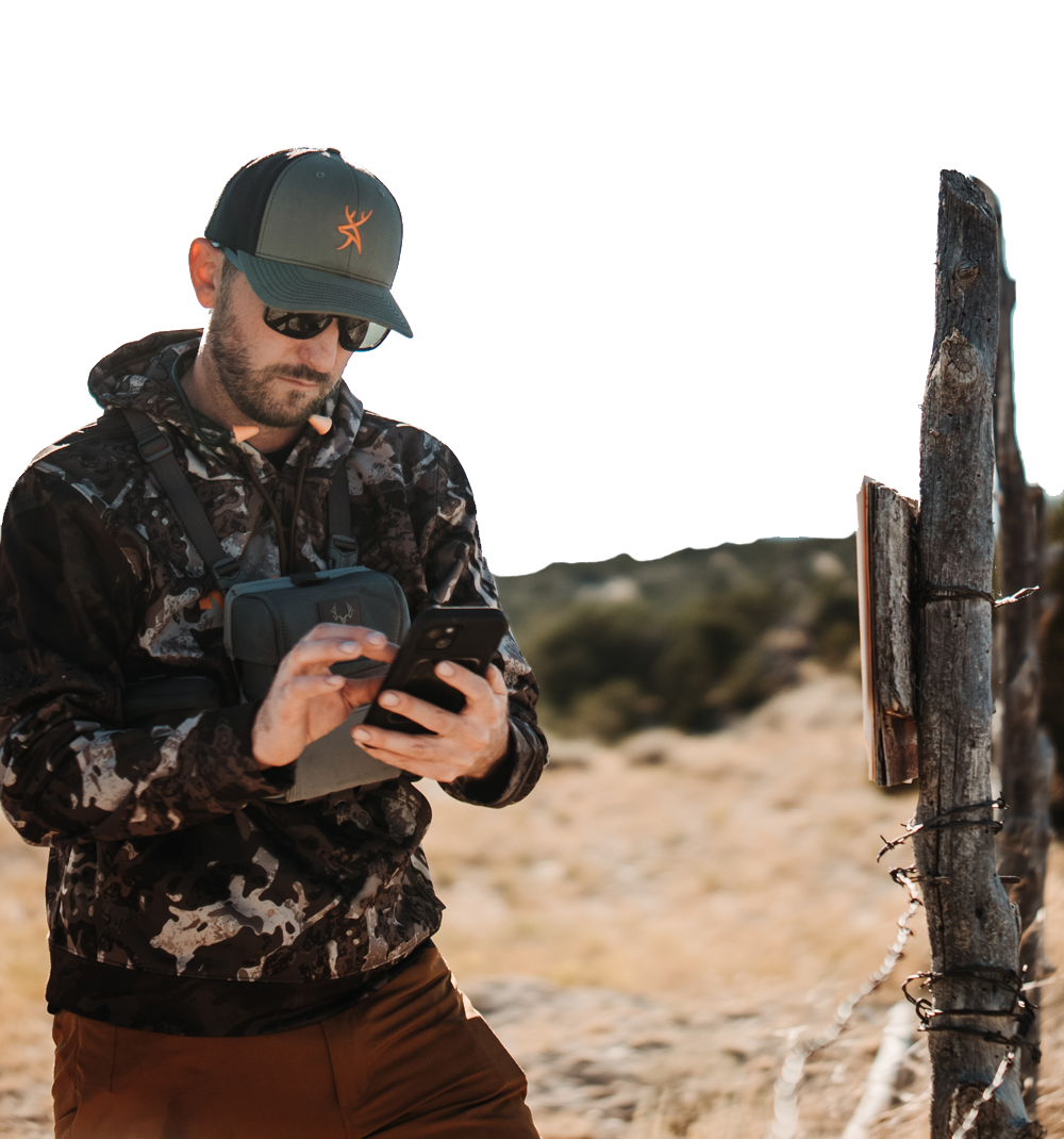
From the Midwest to the mountains, HuntStand is the best GPS mapping app for hunters. We deliver unmatched aerial imagery with smart map overlays and specialized tools, empowering you to plan and succeed on every hunt. With a HuntStand Ultimate membership, you’ll unlock our full suite of mapping tools plus exclusive members-only discounts on top hunting brands.
UPGRADE NOW
Full Access
Enjoy unrestricted, nationwide access to every map layer and premium feature HuntStand offers.
Steep Discounts on Gear
Unlock exclusive savings in the HuntStand Gear Store — up to 50% off top hunting brands.
Advanced Game Forecasts
Get movement predictions built with input from leading wildlife biologists and real-world behavior data.
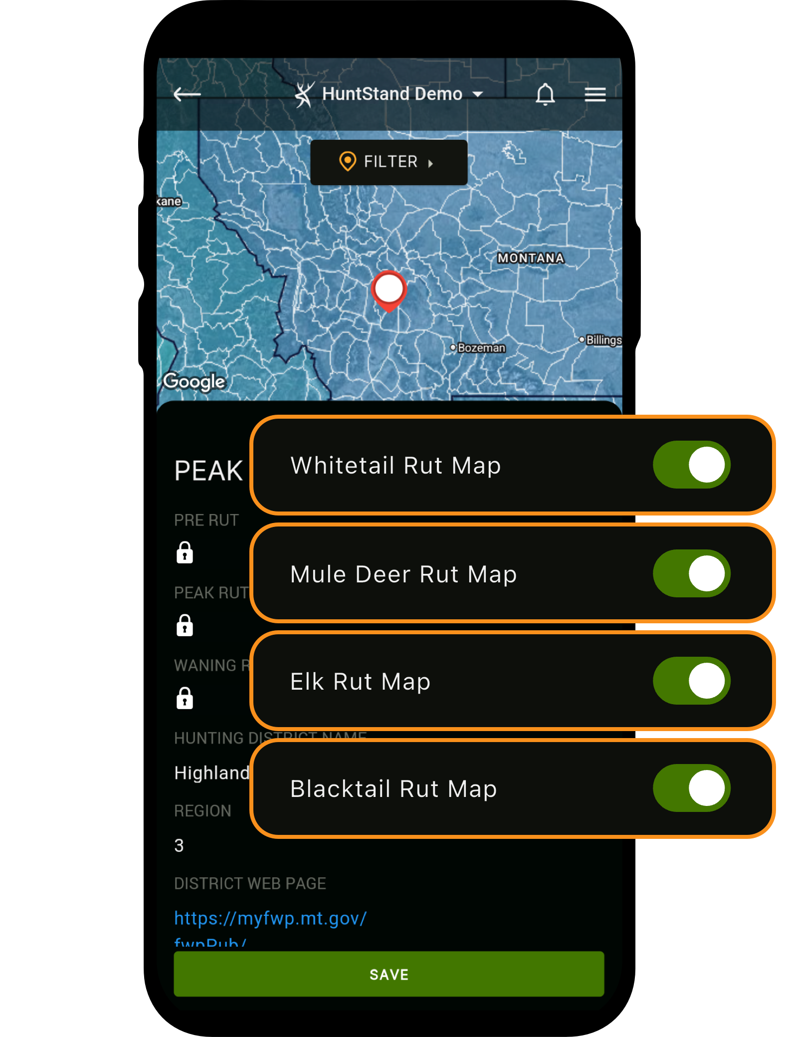
Exclusive Rut Maps
See peak rut activity with precision data sourced directly from state wildlife agencies.
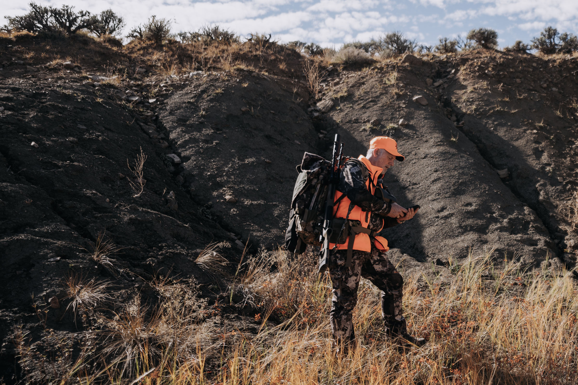
Western Game Unit Maps
Navigate western hunts with detailed maps of species districts, game units (GMUs), and hunting zones.

Monthly Satellite Imagery
Access the highest-resolution monthly satellite imagery available in any hunting app.

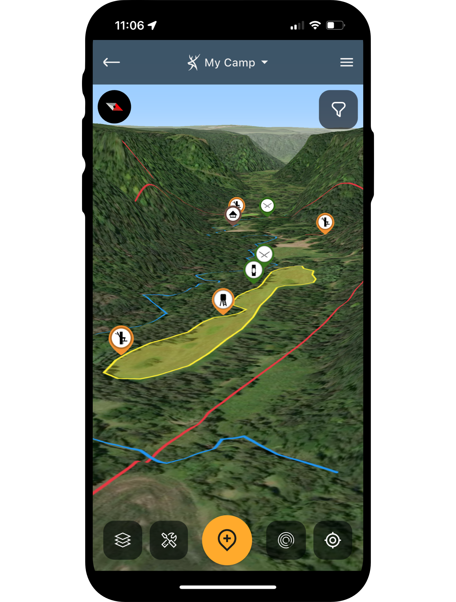
New 3D Mapping
Explore terrain like never before with immersive, next-gen 3D maps for smarter e-scouting.
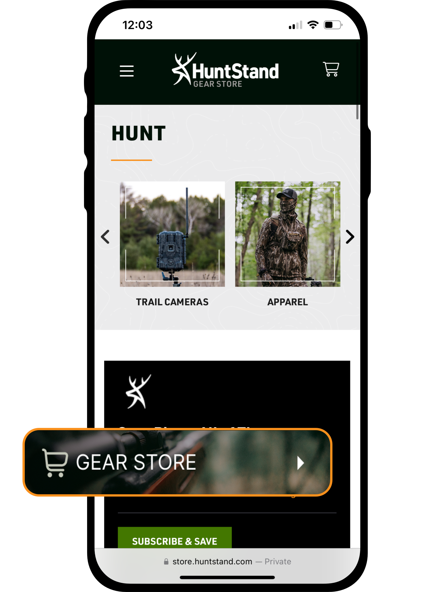
Member-only pricing from top hunting brands
Unlock exclusive savings in the HuntStand Gear Store — up to 50% off top hunting brands.
- Up to 50% off top hunting brands
- Gear up with stands, blinds, cell cams, and more
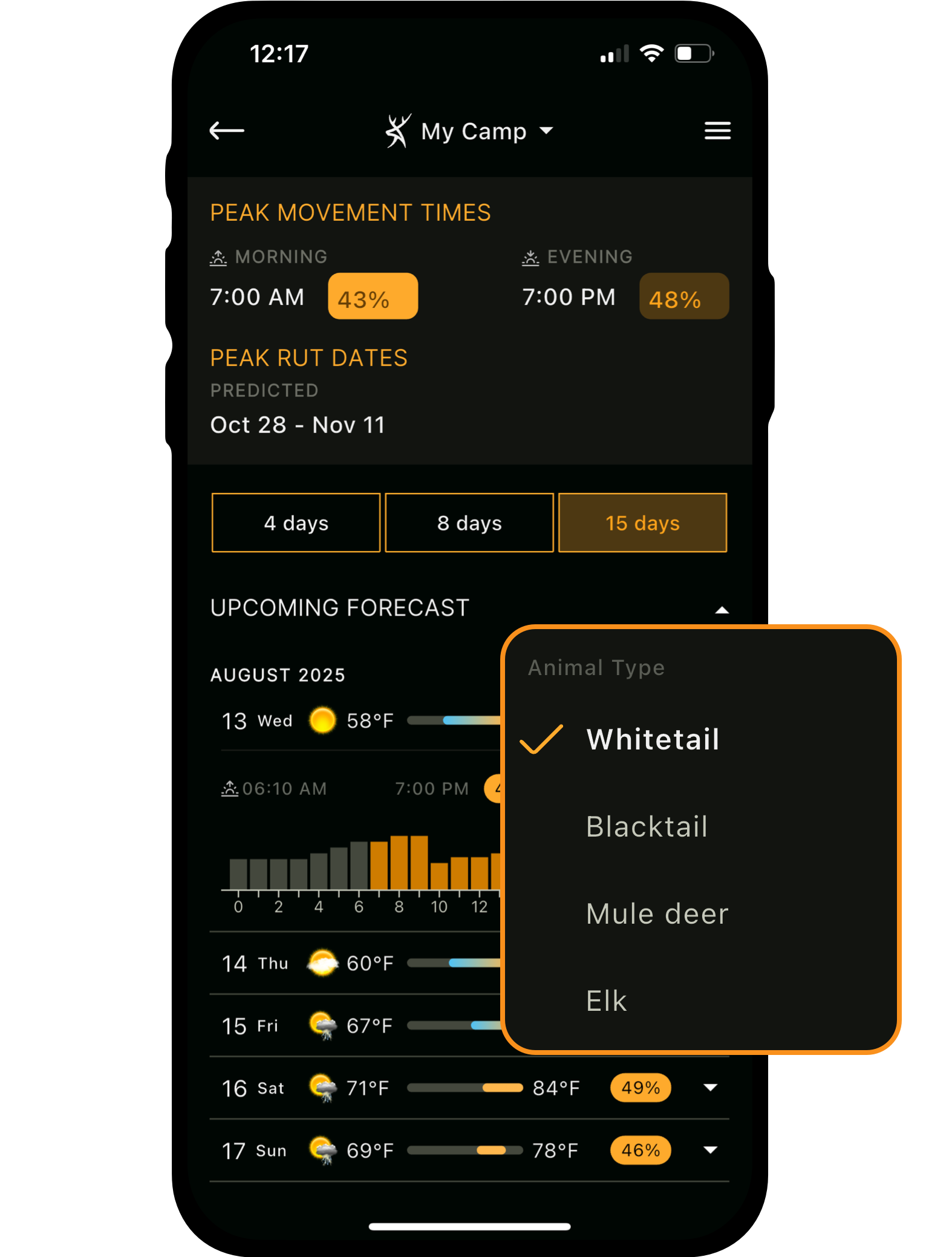
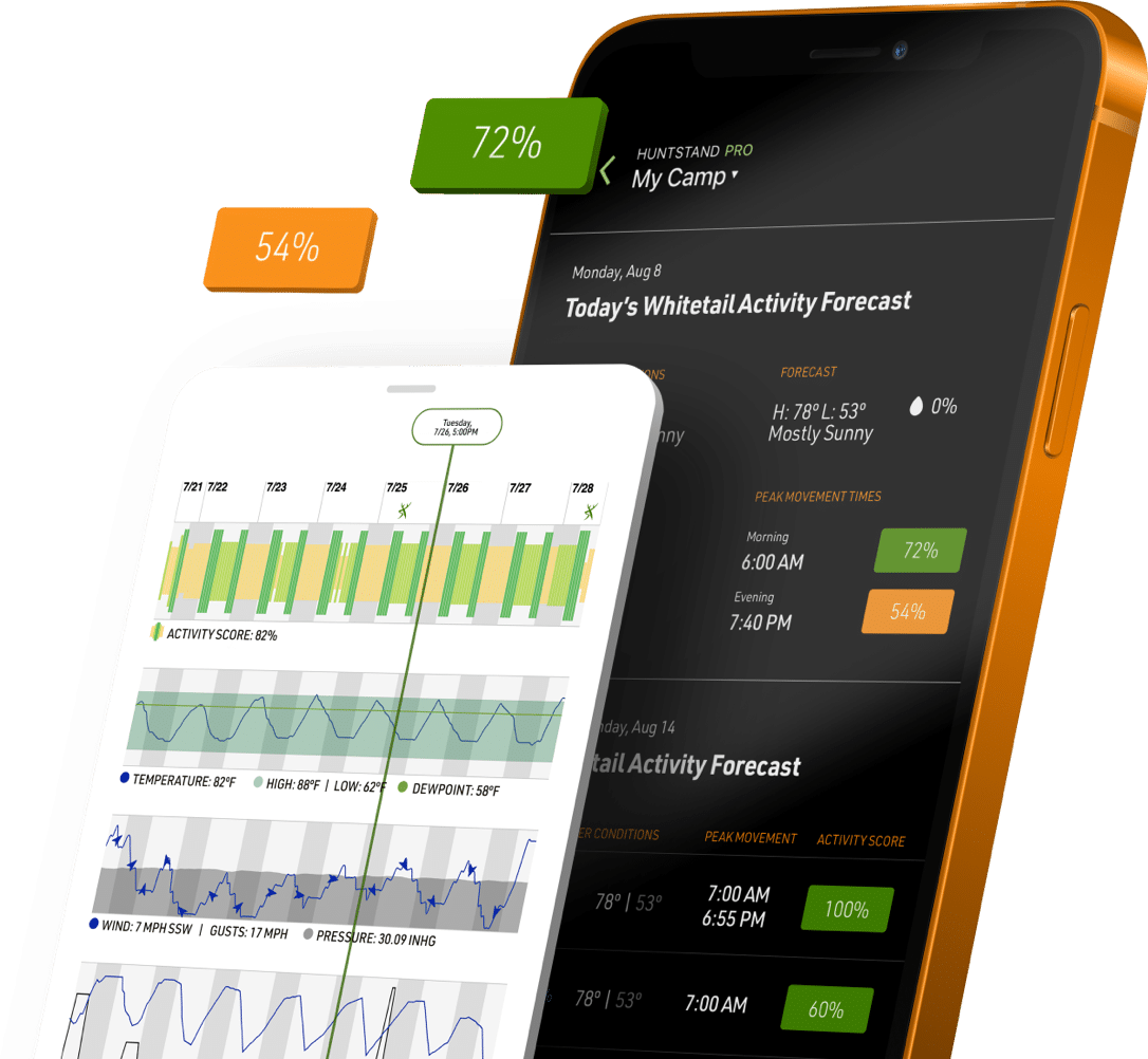
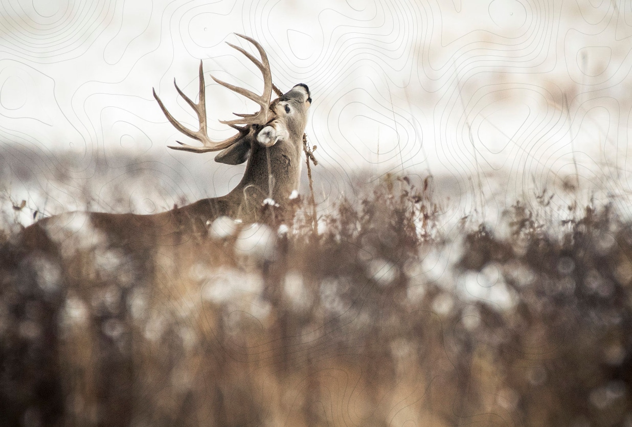
Time your hunt with precision.
Get unmatched insight into when elk, mule deer, and blacktail will be on the move with HuntStand’s exclusive 15-Day Game Activity Forecasts. Built from advanced modeling and research, you’ll know the best days and hours to strike.
- Proprietary forecasts informed by decades of wildlife research.
- Hourly predictions tailored to your exact location.
- Covers elk, mule deer, blacktail, and whitetail.